Located in the suburb of Nathan, Toohey Forest Park connects Griffith University’s Mt Gravatt and Nathan campuses. The inter campus link track has a tunnel going under the Pacific Motorway and is available to walkers and cyclists. While Toohey Ridge Track is the main bushwalking path in Toohey Forest, there are numerous other trails to explore.
Quick Info
Location: Several access points – Mt Gravatt summit, Griffith University Mt Gravatt Campus, Griffith University Nathan Campus, Toohey Rd
Walking Distance: 10km return – From Mt Gravatt Summit to Toohey Picnic Area and back
Elevation: Approximately 100m
Time: 2-4 hours
Difficulty: Easy
Cost/Permit: Nil
Opening Times: Tracks closed occasionally for maintenance
Facilities: Public toilets at Toohey Picnic Area and Mt Gravatt Summit, BBQ, picnic tables
What to Take: Hat, sunscreen, water, picnic, camera
Map:
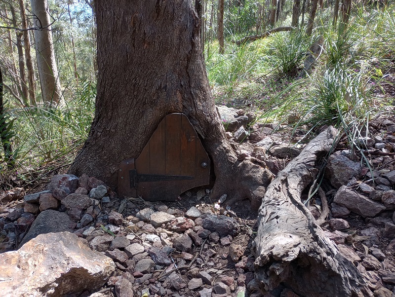
Starting from Mt Gravatt Summit, take the track to Griffith University Mt Gravatt campus. Be sure to look out for the magical “Fairy Door” a local has built into the base of a hollowed out tree (on your right going away from the summit); it’s easier to spot on the return trip.
After passing Griffith Uni Mt Gravatt Campus, the inter campus link takes you under the Pacific Motorway. The approximately 100m tunnel is well lit.

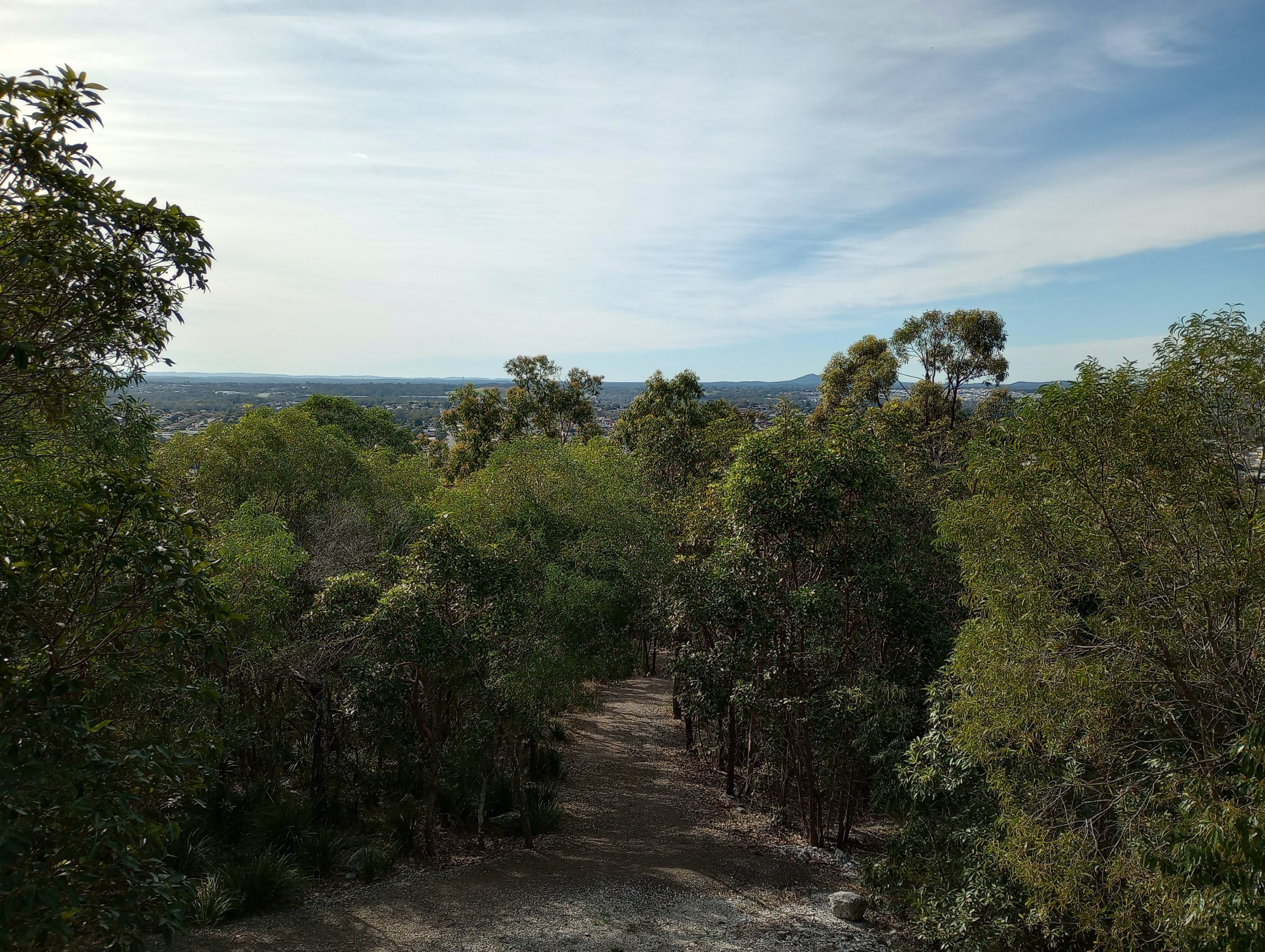
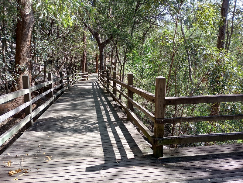
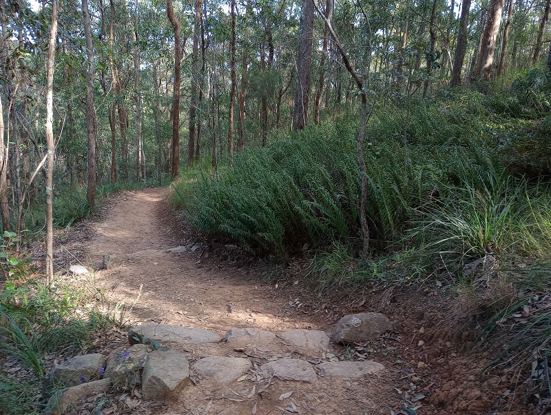
The Toohey Ridge Track is wide and well signed. A well constructed boardwalk takes you past a sloped and rocky section.
Various vegetation types are passed along the track.
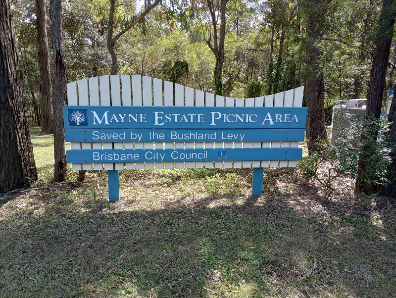
Accessing Mayne Estate Picnic Area involves crossing Toohey Road near Toohey Picnic Area. There is an island in the middle of Toohey Road to allow easier crossing. From Mayne Estate Picnic Area there are several more kilometres of bushwalking tracks.