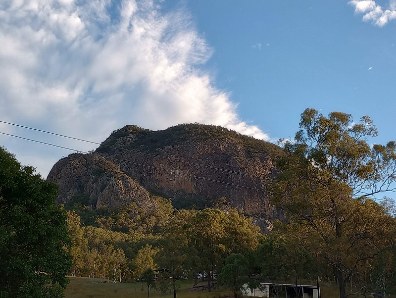
Mt Greville is a summit route NOT a summit track. As such, signage is scarce and navigational skills are expected. Don’t expect much of a view from the summit. However, do expect sensational views of Lake Moogerah from Slab Rock.
Quick Info
Location: Mt Greville Rd, Mt Maroon QLD 4310
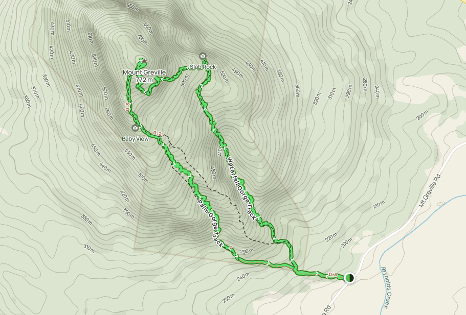
Walking Distance: 6km return (3km each way) Up Waterfall Gorge, down South East Ridge
Elevation: approximately 600m, maximum elevation reached 772m
Time: 6 hours
Difficulty: Hard – rock scrambling, elevation, navigation
Cost/Permit: Nil
Opening Times: Some tracks closed occasionally for maintenance
Facilities: Negligible! Information/warning sign. Parking for a dozen vehicles. Additional parking on Mt Greville Rd. Nearest convenient public toilets – Aratula service station.
What to Take: 2L water per person (Staminade or similar would be even better), snacks, topographical map, personal locator beacon, hat, sunscreen, camera, GPS app such as All Trails
Map:
Mt Greville is 17km SW of Aratula (good spot to stop at and use public toilets). The last 3.5km of the drive is mostly on dirt road, however a 4WD is not needed. There is parking for a dozen cars in an allocated parking area, beyond that there is plenty of space on the side of the dirt road. On the day I completed the summit – a public holiday – there were about 50 cars.
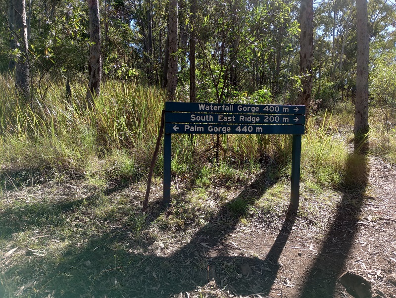
For the first 800m there is an easy, obvious path, with signage at every junction.

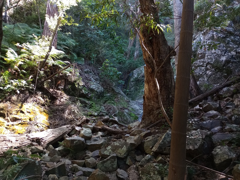
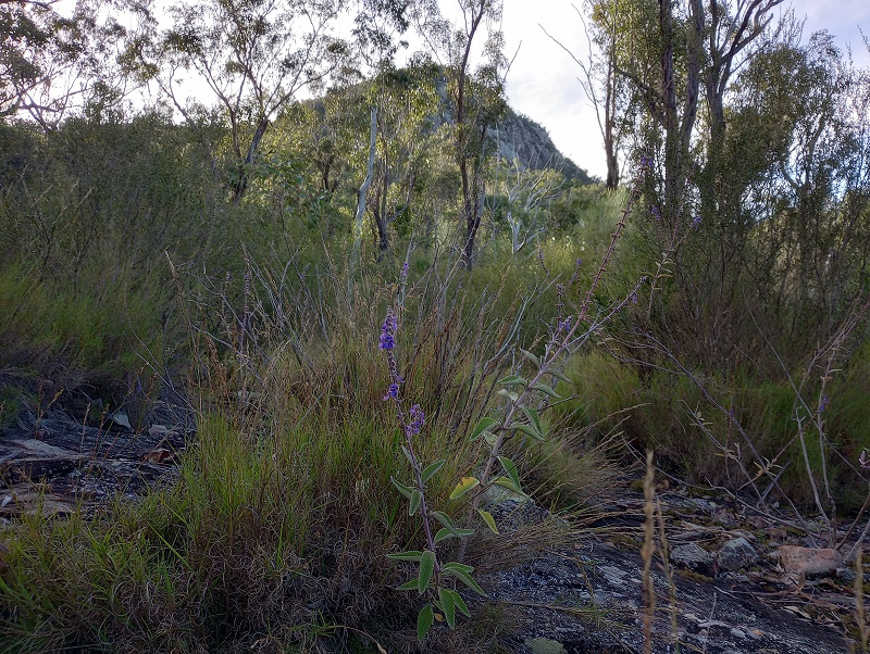
The Waterfall Gorge route was easy to find. After a week of rain, a tiny trickle was flowing. While there is no specific track, the enclosed gorge made it easy to know which way to go. Just head up! Expect lots of rock scrambling. If in doubt, go left.
Approximately 2.2km in (1.4km along Waterfall Gorge route) a sort of junction presents itself. There is a fairly frequently traversed route to the right – this is the wrong way. It looks so well traversed due to people going up it for 50-100m then realising they can’t go any further and coming back down. Straight ahead will continue up the gorge, however it becomes very steep. To the left, over mossy ground, hugging the cliffs, is an easier way.
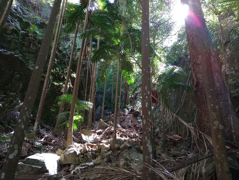
Waterfall Gorge and Palm Gorge have very similar terrain. There were plenty of palm trees in Waterfall Gorge. About 200m from the end of the gorge, on the left, are cliffs that people use for rock climbing and abseiling.

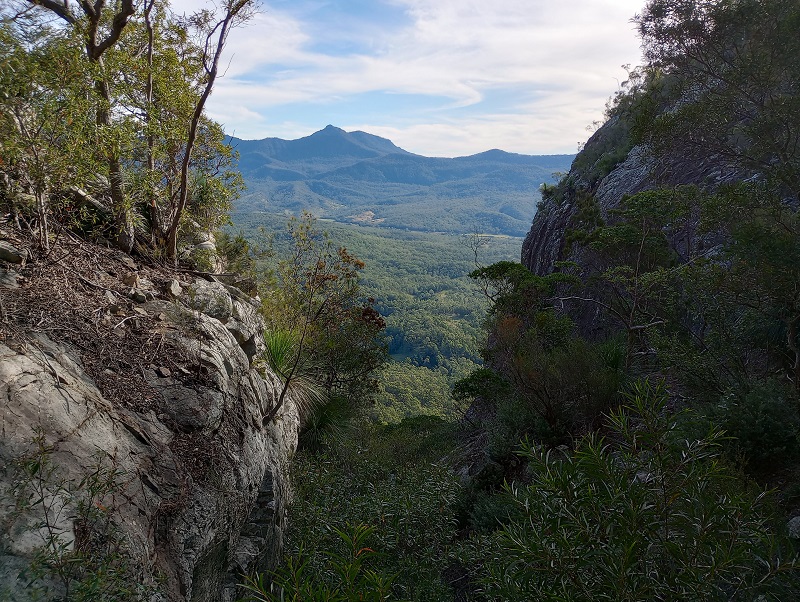
The views at the end of the gorge are a welcome sight.
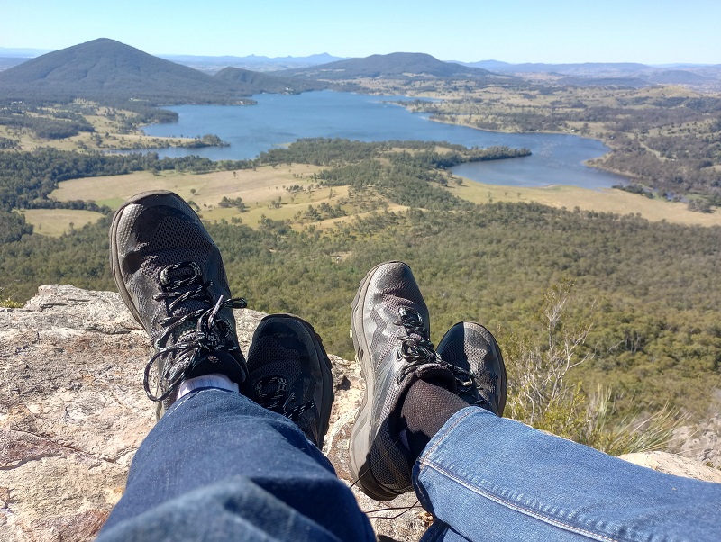
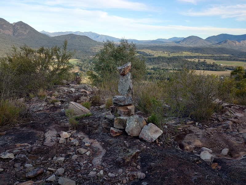
Slab Rock offers the best views and is a great place for lunch. It is also a great place to get off the beaten track and explore. Slab Rock is perfectly positioned to view all of Lake Moogerah and its surrounds.
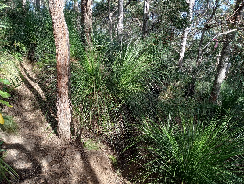
Between Slab Rock and the summit (still an hours walk) are many grass trees. The grass trees are good at hiding the track. When nearing the summit (300m to go), travel clockwise, keeping the summit on your right. At times the track will take you downhill for 10m or so before heading up again. A navigational app was very reassuring.

The summit is anti-climatic. Be sure to add a rock to the ever growing cairn.
To descend via Palm Gorge or the South East Ridge, a path veers off to the right once you have descended from the summit approximately 100m. Look out for coloured tape tied to bushes to mark the way. Baby view, about 600m from the summit, provides views of the south west. Very pretty. 200m further the track splits between the Palm Grove route and the South East Ridge.
The South East Ridge offers a very different bushwalk experience to the gorges. There are occasional orange arrows glued to the ground, and reassuring cairns every so often. A navigational app is highly recommended here as the route is less than obvious. Worst case scenario, a navigational app will save you time. Best case, it might just save your life. There was mobile reception most of the time along the ridge, so it is very easy to track your progress.
Mt Greville Summit will take you to the next level in your bushwalking journey. It represents fun and freedom. This was a warmup for Mt Barney!