This bushwalk has it all: creek crossings, rock scrambling, swimming holes, strenuous elevation, spectacular views, constantly changing vegetation, wide fire trails, chose your own adventure trails.
Quick Info
Location: Starting from Cleared Ridge Parking Area, Waterfall Creek Rd, Maroon QLD 4310
Walking Distance: 8km – 8.5km. 8km for the out and back route, 8.5km for the circuit
Elevation: approximately 450m, maximum elevation reached 750m
Time: 3 – 6 hours
Difficulty: Hard – rock scrambling, elevation, navigation
Cost/Permit: Nil for bushwalking, cost and permit required if camping
Opening Times: Some tracks closed occasionally for maintenance
Facilities: Negligible! Information/warning board. Parking for a dozen 4WD vehicles at the Cleared Ridge Parking Area. Parking at Waterfall Creek camping ground for non 4WD vehicles (4km from the start of the bushwalk). Nearest convenient public toilets – Rathdowney.
What to Take: 2L water per person (Staminade or similar would be even better), snacks, topographical map, personal locator beacon, hat, sunscreen, protective clothing to fend off spikey weeds, camera, GPS app such as All Trails
Map:
Newnam Rd and Waterfall Creek Road up to Waterfall Creek Reserve Camping Ground are unsealed but navigable by non 4WD vehicles. Expect to share the road with cows. A 4WD is needed to drive the last 4km to Cleared Ridge Parking Area. This final 4km goes through private property – be sure to close the gates behind you.
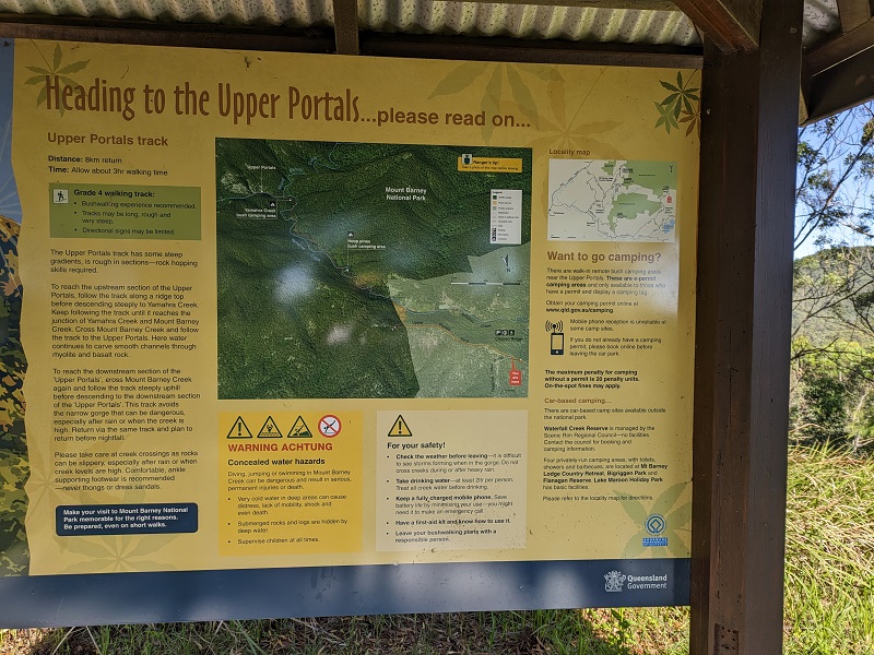
A very helpful information board marks the beginning of the trail at the Cleared Ridge Parking Area. People planning on camping at the Hoop pines or Yamahra Creek bush camp sites would park here for the duration. A straight forward out and back track to the Upper Portals uses the fire trail maintenance track. While very easy to navigate, it is ridiculously steep in places with a loose rocky surface. If you desire a greater challenge, a circuit is available via the All Trails app as an alternative to the out and back route offered by Parks and Wildlife. The circuit adds in a scrambling/mountain climbing type of experience with navigation required.
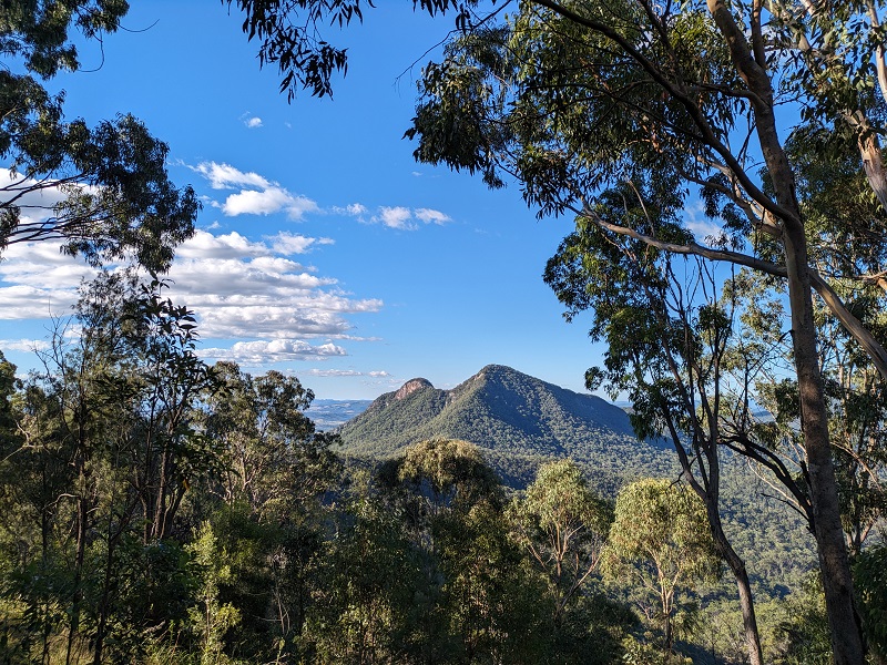
Unusually, this bushwalk starts with spectacular views. On the left, Maroon Dam, Mt May and Mt Maroon can be seen. Further along, Mt Barney’s east and west peaks can be spotted. April 2024 the whole area was vibrantly green. Embrace the urge to break out singing “The hills are alive with the sound of music.”
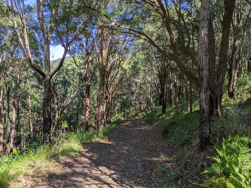
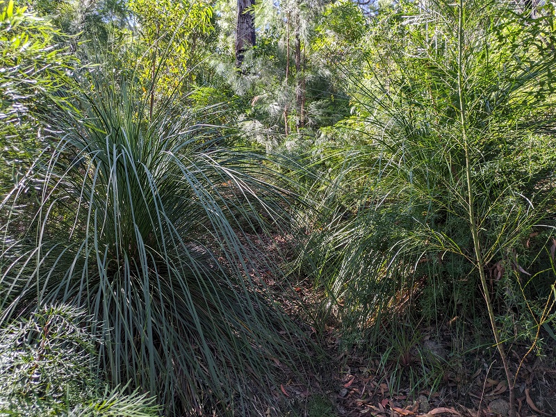
The track is very easy to follow and takes you through many vegetation types. About 1km in, the track splits with a sign pointing to the right for the Upper Portals. Choosing left takes you along the circuit route clockwise. Choosing right takes you along the out and back Parks and Wildlife track, with the option of continuing onto the circuit anticlockwise once past the Upper Portals.
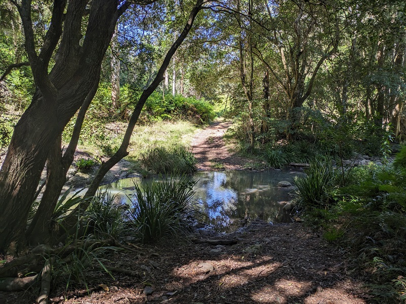
There are around 10 creek crossings all up. After heavy rain, all of them will result in wet feet. During a dry spell it may be possible to keep your feet dry.
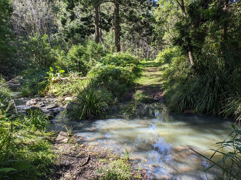
Yamahra Creek was crossed multiple times on its journey to join My Barney Creek. April 2024 the water was strangely milky.

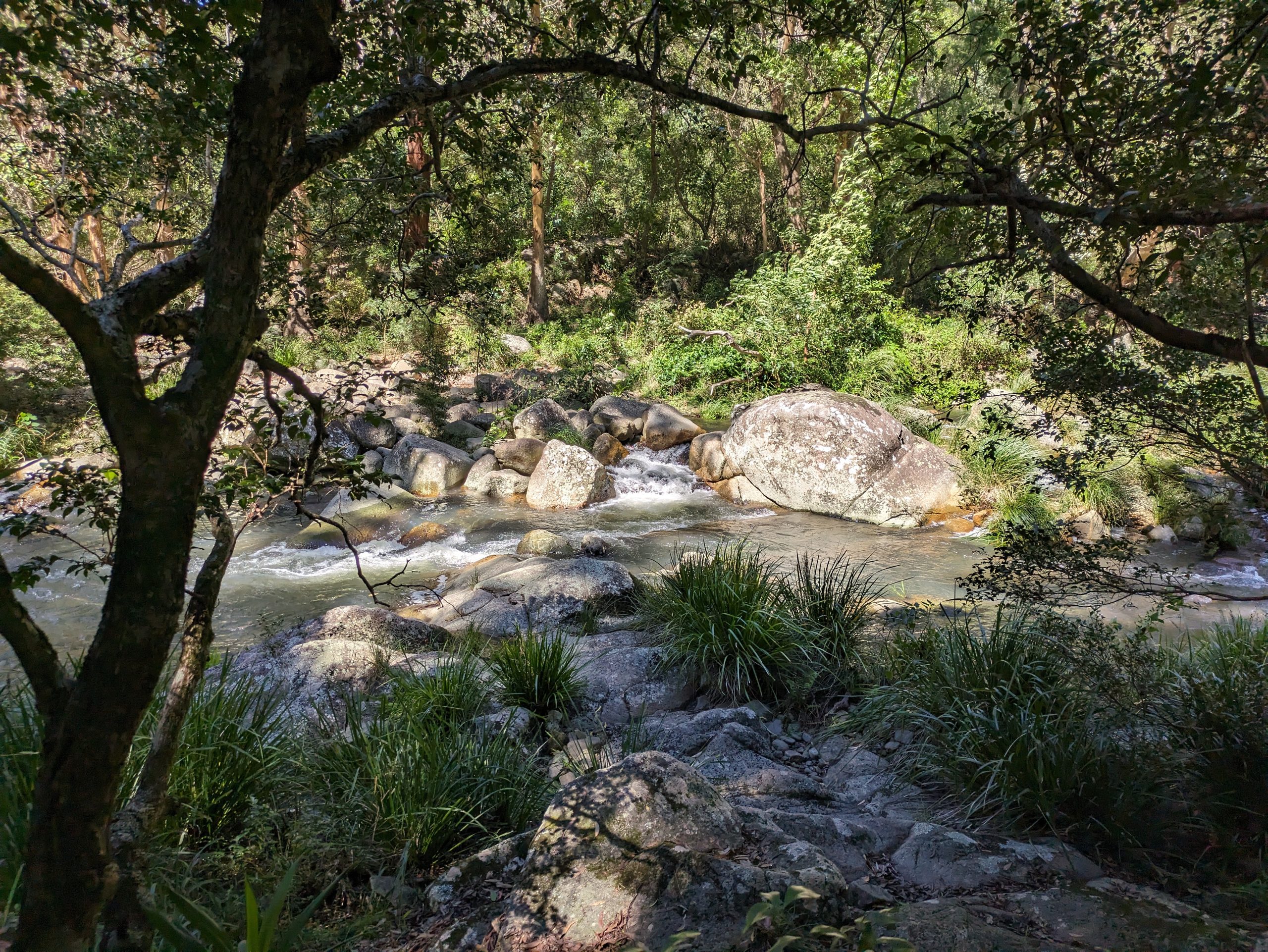
The Upper Portals are downstream of where Yamahra Creek joins Mt Barney Creek. After a rainy week, the water was flowing fiercely making it too dangerous to swim. The rocks in this area make for great picnic spots. You then get to choose to return the way you came or take the circuit.
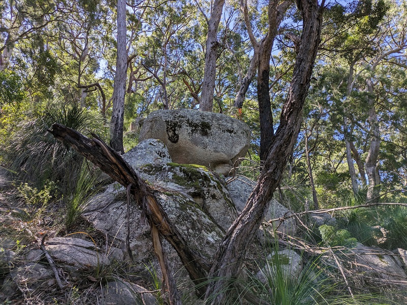
The circuit route is challenging. 200m of elevation in 1km will get your heart pumping. There are no markers showing the way, there is no obvious path and there are many spikey weeds. But it is beautiful and rewarding.
Navigation skills or a navigation app are essential to complete the circuit.
The Upper Portals track has so much to offer. Blitz it in 3 hours, or plan on taking the whole day. While not technically difficult (if you have a navigation app) it is physically strenuous. Highly recommended.