Nestled in the southern section of D’Aguilar National Park, Mt Glorious lives up to its name—glorious! Start your nature experience early by winding down your car windows on the drive there; the bush sounds and beauty start well before the bushwalking tracks do.
Quick Info
Location: Mt Glorious Rd, Mt Glorious QLD, 4520
Walking Distance: 2km – 5.5km Note: this is not a sumit walk.
Elevation: Some hills
Time: 1 – 2 hours
Difficulty: Easy to moderate – due to stairs
Costs/Permit: No cost, no permit required
Opening Times: Only closed occasionally for maintenance
Facilities: Toilets at the Maiala picnic grounds, BBQ, picnic tables
What to take: Water, camera, insect repellant, picnic, warm clothing
Map:
The joy of Mt Glorious starts about 30km before you get there. The tree covered windy road sets the scene for a truly special day. Upon arriving at the carpark, the steepest hill you will climb all day is from the carpark to the toilets. There is plenty of space for a picnic or BBQ, or even to throw a ball around.

The Rainforest circuit, Cypress Grove circuit and Greene’s Falls track are all accessed from the same starting point at the end of Maiala carpark. The first 700m of the Rainforest circuit is pram and wheelchair friendly – although use discretion after heavy rain. Mt Glorious is usually 5 degrees cooler than Brisbane, so in summer it is a welcome reprieve from the heat, but in winter it can be unexpectedly chilly – so come prepared.

After completing just short of half the Rainforest track, Greene’s Falls track and Cypruss Grove circuit branch off. After a further hundred metres or so Cypruss Grove circuit branches off from the track to Greene’s Falls. This circuit is about 400m and is worth a look to experience a different type of forest.

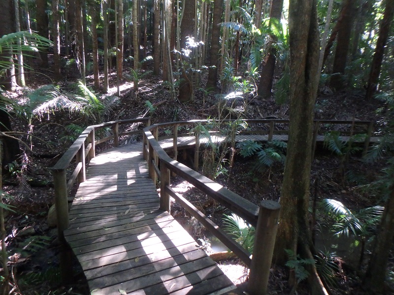
The bushwalk to the top of Greene’s Falls is something special. Multiple boardwalks make it a very easy walk. The track is well maintained and fallen trees, instead of being a problem, have been turned into a feature.

There is a raised lookout at the top of Greene’s Falls, which provide views of D’Aguilar National Park but not of the falls themselves. To view the falls you will need to get off track a little. A quick rockhop downstream about 100m will get you to a spot where the falls can be viewed and the obligatory photos taken. There is space here to set up a picnic beside the gently flowing creek and enjoy an immersive experience. We went a day after heavy rain and the creek was flowing nicely. I wouldn’t be surprised if the falls became not much more than a trickle after a dry spell.
Completing all 3 tracks is about 5.5km. This would be an ideal place to introduce small children to the beauty of bushwalking. Even the littlest legs will have success here.
